|
|
WARNING/DISCLAIMER: Hiking can be dangerous and the information furnished below may contain errors! |
Rockhouse Mountain Hike
Total Distance:
8.4 miles (1,030'+ total elevation gain)From the northwest corner of the parking lot take the
Arden-Sturbridge trail (ASB, red blazes) until you reach the
Red Cross trail (red blazes also) on your right. Make a right
onto the Red Cross trail (while this trail junction is marked, it is
easy to miss if you are not looking in the correct direction at the right
time!). Take the Red Cross trail until you reach the Beech trail (blue
blazes) on your right.
Make a right onto the Beech
trail. Take the Beech trail (and note the small and very old
graveyard, marked on the NYNJTC map, just to right of the trail) until it ends
and where it intersects the Long Path (blue blazes). Make a
right onto the Long Path and take it back to the parking
area.
References: NY-NJ Trail Conference Map #119
Driving Directions from New York City
Take the George Washington Bridge to the Palisades Interstate Highway heading North. In about 19 miles exit the parkway at exit 9W onto the Thruway (Route 87/287) which heads west. About 10 miles later, exit the Thruway at exit 15A. At the exit turn left onto Route 17 North. After about 2.5 miles, just north of the main street area in Sloatsburg, make a right onto Seven Lakes Drive.
Drive about 8 miles (passing a traffic circle) on Seven Lakes Drive and park in a parking area for Lake Skannatati on the left side of the road (Lake Askoti is on the right side of the road). The parking area (N 41.24221, W 074.10215) >is gotten to by turning left and driving down a very short road (there is a sign at the turnoff) and is less than a mile north of the traffic circle. The entire trip is about 47 miles and should take an hour without traffic.
Click here for What to Bring on a Hike
Click here for Information for Group Hikes
Questions: Michael Brochstein
 |
||
| "Welcome to Lakes Askoti & Skannatati Parking" If you follow the driving directions on this page then you will be traveling in the same direction as the motorocyle on the left. (November 2014) | ||
 |
||
| "Welcome to Lakes Askoti & Skannatati Parking" Seen from the same direction as you would see it if you follow the driving directions on this page. (November 2014) | ||
 |
||
| The parking area. (November 2014) | ||
 |
||
| The stairs on the right are the start of the Arden-Sturbridge trail (ASB, red blazes, note trail blazes on the rightmost tree) where the hike starts and the blue blaze on the leftmost tree marks the Long Path which is how the hike ends. (November 2014) | ||
 |
||
| Sign by the parking area (November 2014) | ||
 |
 |
|
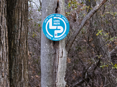
| The Arden-Surebridge trailhead. (November 2012) | Marker for the Long Path (turquoise blazes are also used). (November 2012) | |
 |
||
| Elevation profile. | ||
Last updated: 12/2014