|
|
WARNING/DISCLAIMER: Hiking can be dangerous and the information furnished below may contain errors! |
Raccoon Brook Hill Hike
Total Distance: 10 miles
Difficulty: medium+ (1,000+ total elevation gain)
Estimated hiking time: 6+ hours
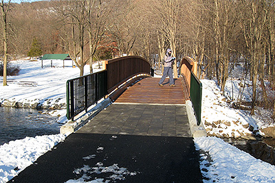
Near/opposite the parking area is a road that leads in a very short distance to a pedestrian bridge that cross over a stream. Cross the bridge and continue walking. You will soon see the Kakiat Trail (white blazes) on your right. It starts out as woods road. Take the Kakiat trail until you reach Raccoon Brook Hills Trail (Black Blazes) on the right.
Make a hard right onto the Raccoon Brook Hills Trail (if you see both a black and a white blaze then you missed the right turn) and take the Raccoon Brooks Hill trail until you reach the Poached Egg Trail (yellow blazes). Make a right onto the Poached Egg Trail and take it until you reach the unpaved Pine Meadow Road by Pine Meadow Lake.
Make a left onto Pine Meadow Road and take it around Pine Meadow Lake until you intersect the Pine Meadow Trail (red blazes). You will veer slightly away from the lake to reach this intersection. Make a right onto the Pine Meadow Trail and take it until it intersects with the Suffern-Bear Mountain trail (yellow blazes). Make a right onto the Suffern-Bear Mountain trail and take it until you intersect the Kakiat trail. Make a left onto the Kakiat trail and take it back to the parking area where your car is parked.
REFERENCES: NY-NJTC Map #118 (Harriman Bear Mountain Trails)
Driving Directions from New York City
From NYC take the George Washington Bridge to the Palisades Interstate Parkway (going north). Exit the Parkway at Exit 13 and make a right onto Route 202 West (Haverstraw Road). Take Route 202 West for a little over 5 miles until you reach Kakiat Park on the right (opposite the Viola Elementary School). The entrance to Kakiat Park comes with little notice! Make a right into the park and drive about one-fifth (0.20) mile to the parking area (GPS: N: 41.14568 , W: 74.11294).
Driving distance is about 38 miles from the Upper West Side of NYC and the total driving time is estimated at about 45 or so minutes without traffic.
Public Transportation
N/A
Click here for What to Bring on a Hike
Click here for Information for Group Hikes
Questions: Michael Brochstein
 |
 |
|
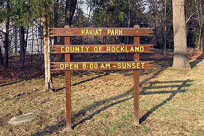
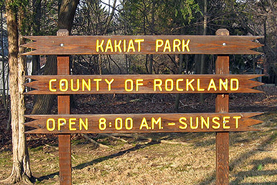
| The entrance to Kakiat Park is marked by the sign above. It is easy to drive by if you are not paying attention. (March 2009) | ||
 |
 |
|
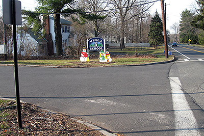
| Directly opposite the entrance to Kakiat Park is the Viola School (it's sign is easier to see!). (March 2009) | ||
 |
 |
|
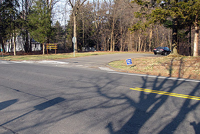
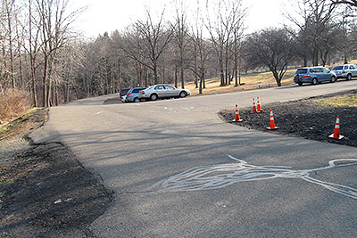
| The main entrance to Kakiat Park. (March 2009) | The parking area in Kakiat Park. The hike begins by going down a road to the left (before the parking area, not very obvious in the above image). (March 2009) | |
 |
 |
|
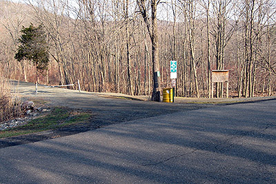
| The road (on the left) you will walk down to start/finish the hike. (March 2009) | The road that starts the hike goes over the pedestrian bridge shown above (we go over the bridge to start the hike). (December 2009) | |
 |
 |
|
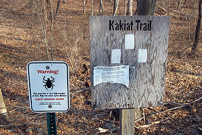
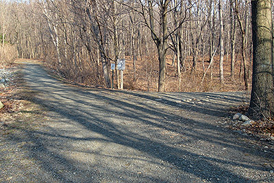
| The sign at the beginning of the Kakiat trail. (March 2009) | The intersection between the road that leads from the parking area and the beginning of the Kakiat trail which starts out as the woods road shown above on the right. (March 2009) | |
 |
 |
|
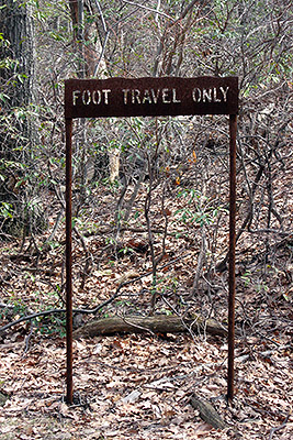
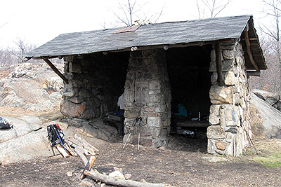
| An atypically constructed sign that you will pass near Pine Meadow Lake and the Pine Meadow trail. (March 2009) | The Stone Memorial Shelter which you will pass on the Suffern-Bear Mountain trail. (March 2009) | |
 |
||
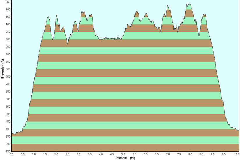
| Elevation Profile for the hike. | ||
Last updated: 12/2009