|
|
WARNING/DISCLAIMER: Hiking can be dangerous and the information furnished below may contain errors! |
Goshen Mountain Hike
Total Distance: 8 miles
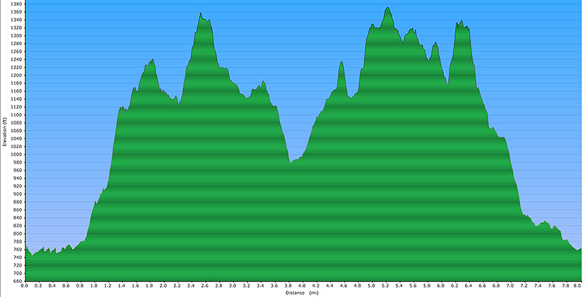
Difficulty: Medium (about 1,400'+
total elevation gain)
Estimated hiking time: 4+ hours (individual)
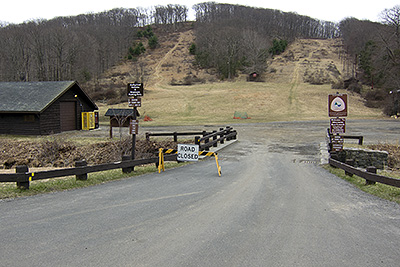
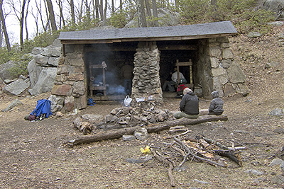
From the parking area there is a very small bridge that the road to the lake passes over to to get to the lake. Blazes for the Menomine trail (yellow blazes) are found here (on the left) and initially head towards the lake. Take the Menomine trail southeast (along the lake with the lake on your left) from the parking area. Immediately after passing the Brien Memorial (Letterrock) Shelter make a right onto the combined Ramapo-Dunderberg (RD, red blazes) and Appalachian Trail (AT, white blazes). When they split stay on the RD. The RD will become a woods road after a while.
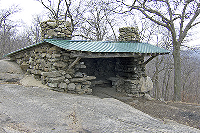
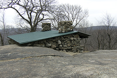
After crossing Seven Lakes Drive, at an intersection with the RD and the AT, go straight, staying on the woods road (the RD will turn left at this intersection) until you intersect the Long path (LP, aqua blazes). Make a hard right onto the Long Path (off the woods road, do not go straight on the combined woods road and LP) and take the Long Path until you reach the Stockbridge Shelter. A nice view is to be had, on the left, about 100 yards or so past the shelter. Turn around here. Go south on the Long Path and make a left onto the Menomine trail. Take the Menomine trail back to the parking area.
REFERENCES: New York - New Jersey Trail Conference Map # 119 (Harriman-Bear Mountain Trails )
Driving Directions from NYC
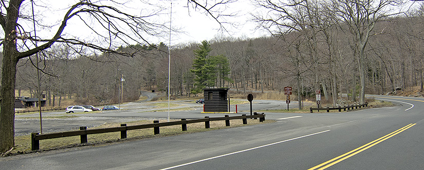
Take the George Washington Bridge to the Palisades Interstate Highway heading North. Take exit 18 and at the (Long Mountain) traffic circle where Route 6 and Seven Lakes Drive intersect, go about three-quarters the way around the traffic circle and then make a right onto Seven Lakes Drive heading southwest (the sign may also say that it is the way to Sloatsburg). This should be the third right turn possible from the traffic circle. Drive for 1.5 miles and make a left to get into the large parking area for Silvermine Lake.
Park in the Silvermine Lake parking area (near blazes for the Menomine trail - yellow blazes, GPS: N 41.29536 W 74.05922). The entire trip is about 43 miles and should take less than an hour.
Click here for What to Bring on a Hike
Click here for Information for Group Hikes
Questions: Michael Brochstein
 |
||
| Entrance to Silvermine Lake parking area. (April 2011) | ||
 |
||
| The parking area. Silvermine Lake is on the left. The small bridge that the main road goes over is straight ahead (slightly right of center) and is also where the hike begins. (April 2011) | ||
 |
||
| Bridge you will walk over to start the hike (note the yellow blazes on the far left, on the brown fence railing). (April 2011) | ||
 |
 |
|
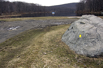
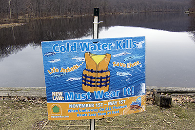
| Silvermine Lake (note the yellow blaze on the rock on the right). (April 2011) | Speaks for itself. (April 2011) | |
 |
 |
|
| Brien Memorial (Letterrock) Shelter. (April 2011). | ||
 |
 |
|
| Stockbridge Shelter. (April 2011) | ||
 |
||
| Elevation Profile. | ||
Last updated: 4/2011